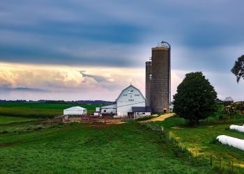
(The Center Square) – Iowa needs more rain.
Statewide, precipitation in April was 1.61 inches, which is 1.9 inches below normal, which makes it one of the top 20 driest April in 149 years of statewide records, according to the April 8 Water Summary Update, which was published May 6.
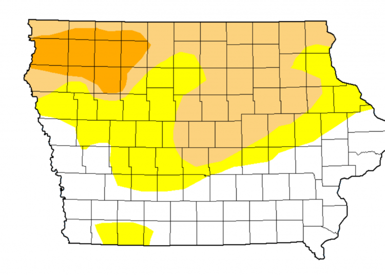
“As of the first week of May, D0-D2 [extreme drought] categories now cover 78% of the state, the highest extent since mid-September 2020,” State Climatologist Justin Glisan told The Center Square in an email. “The categorical breakdown is as follows: D0 [abnormally dry] – 42%, D1 [moderate drought] – 29%, D2 [severe drought] – 8%.”
Glisan said 99% of Iowa was in the D0-D3, which reached the record of Aug. 27, 2013, according to the U.S. Drought Monitor issued the week of Sept. 1, 2020.
“Moderate to Severe Drought (D2-D3) conditions covered 37% of the state with D3 conditions over 15% of Iowa,” the Iowa Annual Weather Summary of 2020 reported. “By September 8, 2020, the state was experiencing the worst drought conditions of 2020, with almost 15% of the state designated as D3.”
The state tends to receive two-thirds of its annual rainfall from April through August, according to the April Water Summary Update.
“All of the indicators used in the Water Summary Update are trending drier,” Iowa Department of Natural Resources’ Hydrology Resources Coordinator Tim Hall said in a May 6 news release. “April was very dry across much of the state, leading to lower stream flows, and concerns about shallow groundwater supplies in parts of the state. This time of the year the state should be receiving more than an inch per week of rain, so we are falling farther behind.”
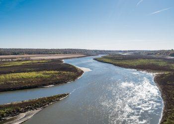
The Skunk, Des Moines, Raccoon, and West Fork Cedar rivers, and a portion of the Cedar River basin, have moved into below-normal conditions, the release said.
“Some of the streams in northwest Iowa are pretty low in terms of their flow, which then shows up as groundwater levels being low in some of the wells that are used to supply drinking water for the water utilities. … Now fortunately, that part of the state reacts to dry weather, it also reacts pretty quickly to wet weather, so it can bounce back fairly quickly,” Hall told The Center Square in a phone interview.
He said the department has been monitoring the conditions and communicating with regional drinking water utilities.
The Iowa DNR and the Iowa Department of Agriculture and Land Stewardship will host a Zoom webinar from 10 a.m. to 11 a.m. on May 26. The webinar will provide attendees, who tend to be involved in related industries, “a wide range” of the current conditions in the state and an outlook for upcoming months, he said.
Hall encouraged the general public in Iowa, and especially those who depend on water resources, to keep themselves informed through resources including the U.S. Drought Monitor, which is published Thursday mornings and the Iowa Flood Center.
“The general public sometimes thinks that a heavy rainfall event can improve seasonal drought conditions substantially,” Glisan said. “Well, in some parts of the state where D1 and D2 conditions continue to persist, precipitation deficits have been stacking up for several months, if not over a year. So a drought buster would entail above-normal precipitation events and precipitation events on a regular basis over several months to impact the driest parts of the state.”
He said that when farmers and the general public report the effect drought conditions have on their fields, that helps state experts improve the accuracy of recommendations to the U.S. Drought Monitor.
“A more accurate map means better help from state and federal partners,” Glisan said.


